It is spring! (Finally!!!) Time to hit the ACLT trails to enjoy the spring flowers. Last Sunday was a beautiful day – crisp and sunny. The trails were awash with a scintillating display of early spring wildflowers – especially the Horse Swamp trail.
Nothing out of the ordinary but how invigorating to be out in a restful setting with the freshness of a new year. The liriodendrons were turning green, the maple trees with their red buds were clearly discernable, and the frogs were singing. Beautiful.

Cutleaf toothwort
Cardamine concatenata

Cutleaf toothwort
Cardamine concatenata

Cutleaf toothwort
Cardamine concatenata

Dutchman's breeches
Dicentra cucullaria

Dutchman's breeches
Dicentra cucullaria

Dutchman's breeches
Dicentra cucullaria

Dutchman's breeches
Dicentra cucullaria

May apple
Podophyllum peltatum

May apple
Podophyllum peltatum

Spicebush
Lindera benzoin

Spicebush
Lindera benzoin

Spicebush
Lindera benzoin
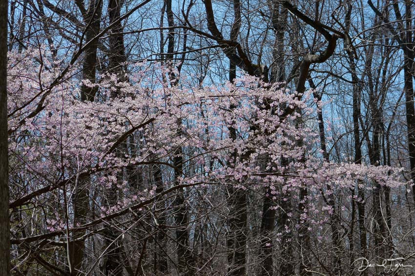
Wild cherry

Bloodroot
Sanguinaria canadensis

Bloodroot
Sanguinaria canadensis

Spring beauty
Claytonia virginica
